Saturday has arrived. We’ve been incredibly busy, too busy in fact to post our last hike in a timely manner. But today is indeed Saturday and time to relax, time to consider the past week’s events, time to lean back and enjoy the progression we’ve made with WildDrake.com and, time to blog. Last Sunday we completed an all-day ~18 mile loop hike and as we were taking our final steps back to our vehicle at the trailhead (the trail had seemingly generated much enthusiasm, energy and exuberance), we were pondering our next great adventure, a magical difference from the rather than expected exhausted feeling one would normally experience following an entire day-long hike. We had so much fun we were already planning our next hike before returning to the trailhead and back to our vehicle. What a spectacular day we had…




The dappled shade was a refreshing change from the scorching blast that radiates from the blond sands of the open desert. Hiking along the Canada del Oro (CDO) trail was a supremely pleasant surprise and we’re certain that we will soon return to this charming destination. Perhaps we should have begun our blog post beginning with the trailhead, however, because the entire route held a variety of unexpected treasures we could have commenced at just about every turn of the trail, a trail that quickly became one of our favorite hikes, and one we will gladly repeat.
We did not arrive at the starting point of the Oracle Ridge/CDO circuit until 7am (in spite of waking at 3am) because we wanted to have a good breakfast, a pack full of delicious snacks and a nutritious lunch, and we have to filter all of our house water because of the high mineral content and taste. We may have been a couple of hours behind schedule but later in the day, as we perched on boulders near a small meandering stream and enjoyed our meal and replenished our bodies, it was worth the time invested. Considering that our planned route was 18.6 miles, keeping fed and hydrated was vital to our success in completion.
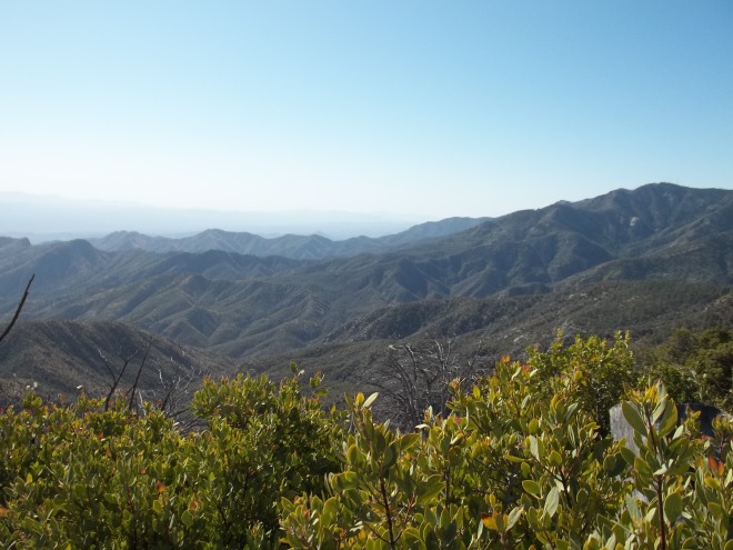
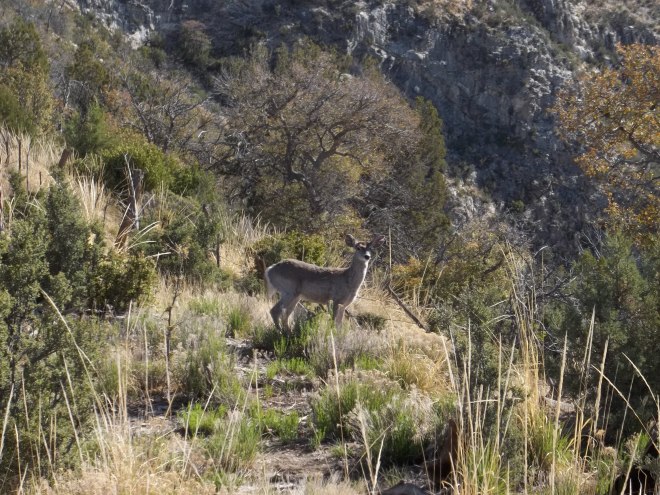
The Oracle Ridge Trail is part of the Arizona Trail and we started at about 8000 feet in elevation, before winding our way down to the valley floor, dipping to just under 5000 feet at the lowest point. The ridge enables expansive views of the San Pedro Valley and the north side of the Catalinas with the town of Oracle only about 12 miles away. Other than the Coos deer that was nibbling on greenery, the trail was bereft of other travelers and actually, we did not see anyone else until we crested Mt. Lemmon, nearly at the end of our trip.
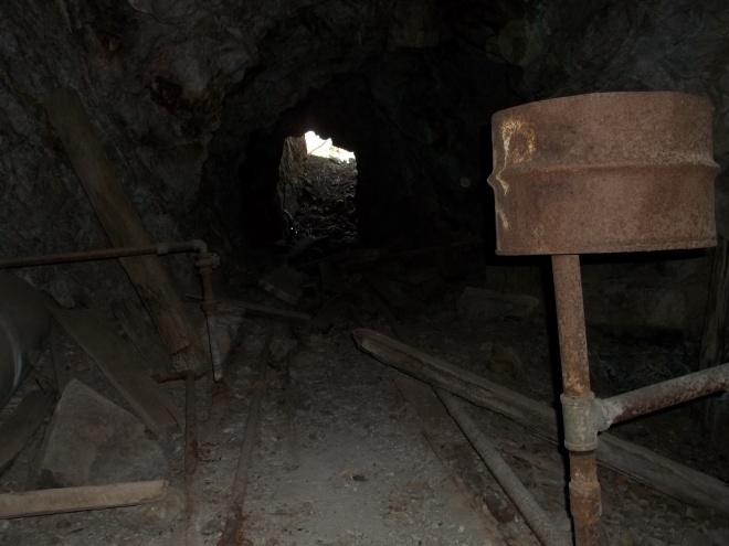
As we twisted our way down from the Oracle Ridge Trail, we could see remnants of mines tucked in along the hillsides and upon nearing the bottom, there was a heavily traversed trail that seemed like a random spur but the amount of traffic it had sustained made us want to explore it further. This led us to a heap of deserted old mining equipment, including rails, a water pump, and assorted fuel cans and tools, and just around the corner was the mouth of the mine itself. Intrigued, David clambered down the entrance to have a better look (of course he did) with me following right behind. There was a vent that allowed light into the tunnel and air circulation, and we could follow the connected pipes for water movement into and out of the mine, and there were lines of mining rail that extended in several directions into the darkness of the mountain’s inner sanctum, in addition to deeper passageways we didn’t dare venture further with our limited headlamp lumen. The temperature change was remarkable and the coolness was a striking change considering that the mouth of the mine was only feet away. We were inspected by several members of the local bat population but their brief forays and flybys were not frightening and merely added to the atmosphere of the moment. We were seized by the spelunking bug and by using our headlamps, we could see that there were many offshoots and an implied maze of tunnels, beckoning further exploration. I must admit that I was singing the Hi Ho song from Snow White to myself, but we knew that we were not adequately prepared and would have to return at a later date.



Resuming our trek, we passed by several old miner’s shacks, one of which has been commandeered by hikers and campers and is a very quirky and creative stop. There is a register inside and after taking photos and signing, we wondered what else the day would have in store for us. As we reached the valley floor, walking through fairly typical Sonoran Desert terrain, the heat was increasing and it was very warm, even at 5000 feet. The trail was well-kept and easily traversed and soon we welcomed a break and our lunch. As we sipped on a bottle of our refreshingly energizing Hydraulic™ hydration beverage, we reached an intersection of the CDO Trail and headed back towards the interior of Catalinas, which brought us through dramatic changes in vegetation as we climbed in elevation.




This section of the loop was slated at 6.1 miles and for both of us, it was the most enjoyable trail by far. The path traced the CDO Creek which tumbles and flows through a boulder strewn bed and requires crossing numerous times, and surprisingly, it contained a fair amount of water considering this is a very dry season. This constant supply of moisture has given rise to many bordering deciduous trees the entire length of the stream, a very pleasant and attractive feature. It is such a rarity to hike in this kind of environment in Arizona and we both thoroughly appreciated our surroundings. We made plans to return for a more extended period and potential campsites were plentiful. This went on for several miles, slightly gaining elevation and we startled three more deer who were imbibing of the cool creek water. Eventually the trail separates from the creek and begins to get steeper and leads up to the ridge where we connected to the trail that brought us up towards the summit of Mt. Lemmon. At this point, the rustling leaves had given way to pine forest and the smell was refreshing (except for when we encountered Pepé Le Pew) and the pine needles provided a fabulously cushioned carpet on which to trek. Breaks in the trees provided a glimpse of the valley behind us and we were slightly amazed at how far we had travelled in what seemed so short a time period since our last compass change.
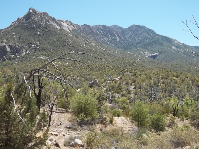
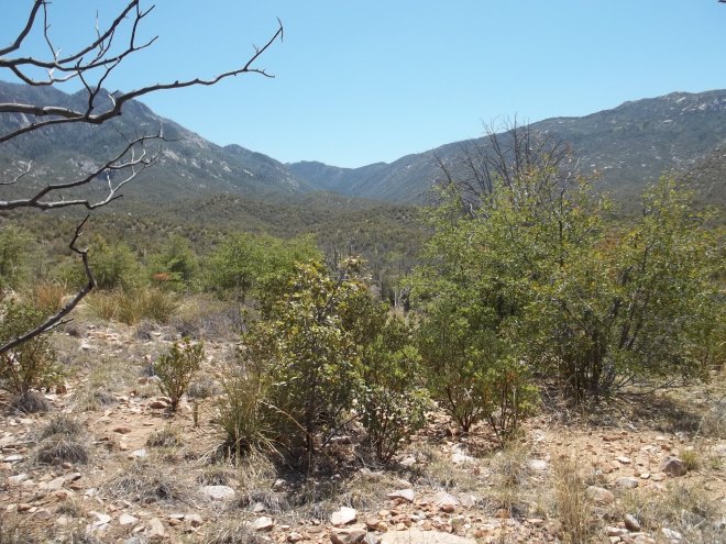
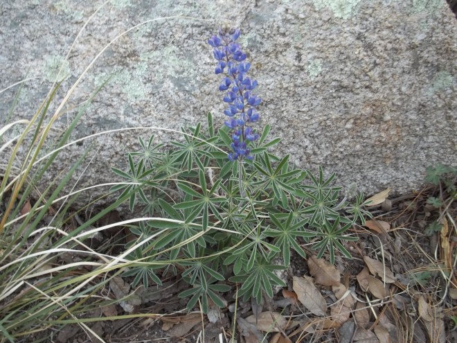


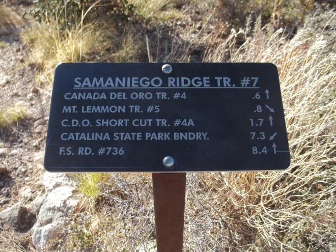
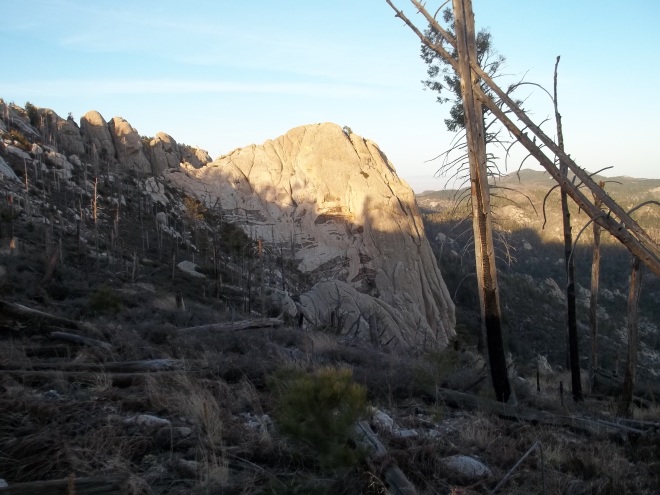
As we approached the top of Mt. Lemmon, we were rewarded with incredible views of Oro Valley and the southern most perimeter ridge of the Catalinas including Cathedral Rock, the sun eagerly and effortlessly lighting the western sky, reminding us that we still had miles to cross before completing our day-long circular adventure. Soon we found ourselves at 9080 feet, the highest point that we traversed that day and as we began to negotiate the peak, we caught a spectacular view of Lemmon Rock and the fire lookout cabin that we’ve seen many times from the Wilderness of Rocks area. Fortunately, we reached all of the best scenic portions of our adventure as daylight waned and the final leg of our trek meant walking paved roadway, but as nightfall enveloped us, we knew that while we both would have desperately preferred to avoid roadways, it was a sensible choice. Now at our vehicle, following a few well deserved stretches, we rolled down the mountain continuing with our discussion of, when and where will our next summit adventure be?



Reach Your Summit!

You must be logged in to post a comment.